A research blog about Warrington's New Town history
Warrington New Town Development Corporation archive: Housing
This section displays some of the photographs and slides of Birchwood that Local Archive at Chester have scanned for the Days of the New Town project. Unless otherwise stated, the images come from the Warrington New Town Development Corporation archive. Where possible, I have given the archive’s filing code for the image (a number prefigured by the initials NTW), in the hope that anyone who wishes to visit and use the archive themselves will have some reference points. At the master planning stage of Warrington New Town (1969 to early 1970’s) the aim for Birchwood was to house 17,000 people. This figure was revised down following the reappraisal of the New Town program by central government in 1977. Its population stands at approximately 10,500 today. The material shown here pertains mostly to the rented housing which was designed by the in-house team of architects at the Development Corporation, or by architect firms ‘commisioned’ by the Development Corp to introduce a varied aesthetic to the housing stock.
The material here covers the various stages of realising the housing stock in Birchwood, from the planning stage through to the promotion of the finished housing to potential residents.
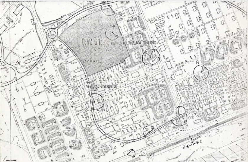
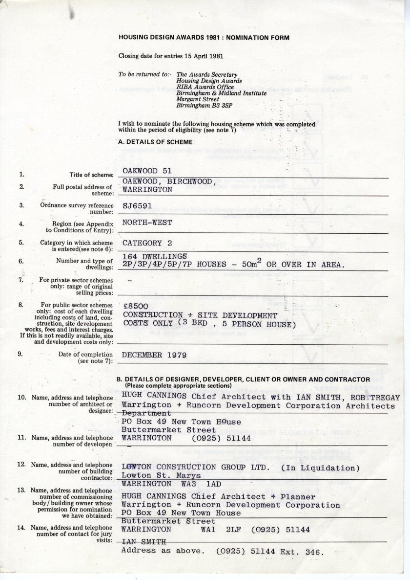
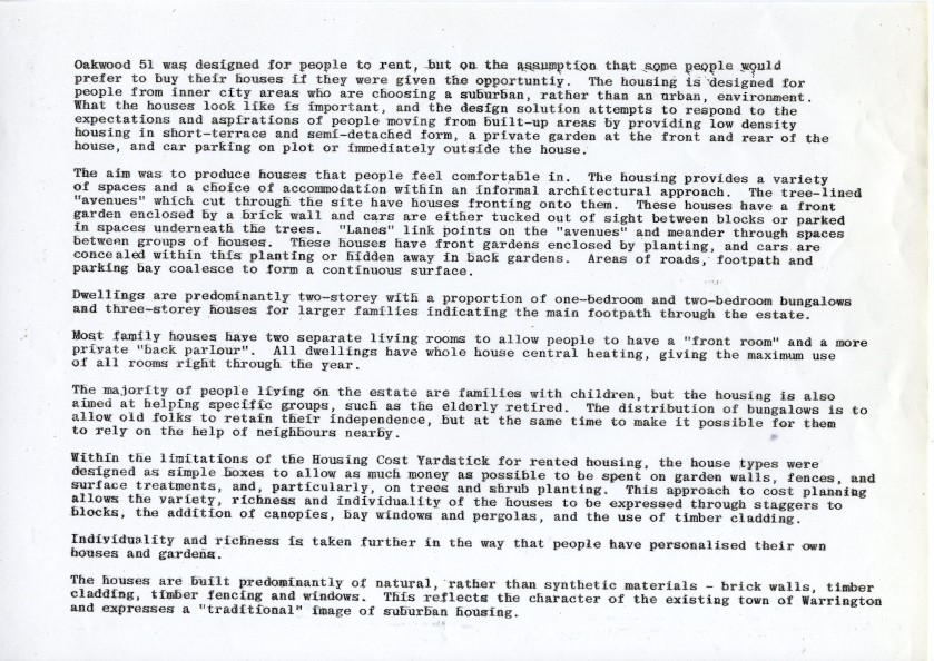
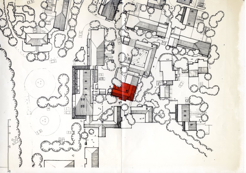
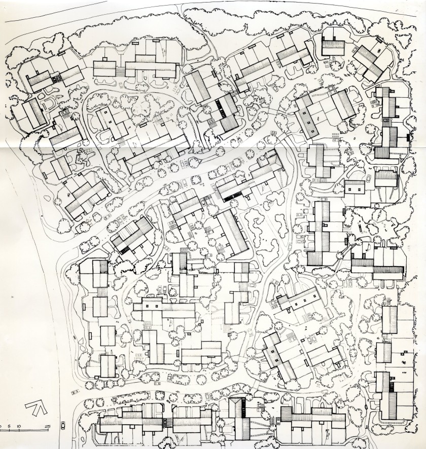
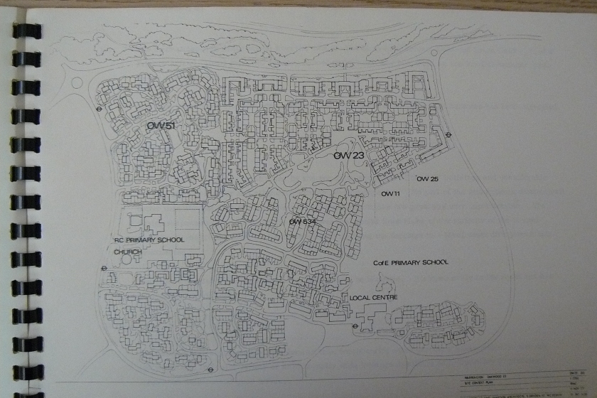
This map shows the Ordnance Factory with the area of Oakwood 51 and surrounding road network superimposed on top. The Development Corporation went on to enter “Area 51” into the 1981 Housing Design Awards. See below.
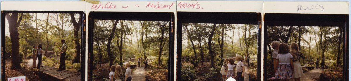
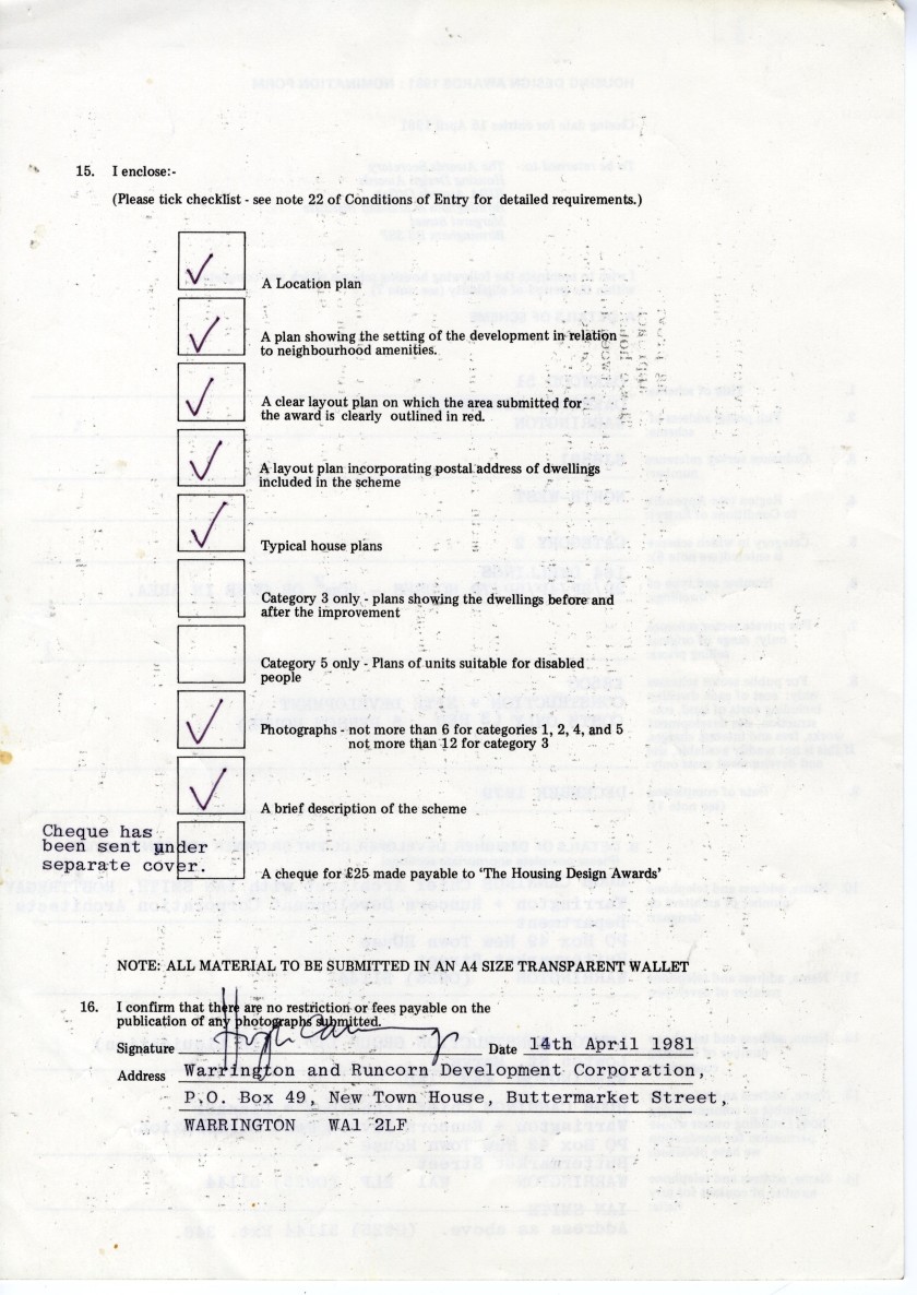
Above seven images, from file NTW 147_5_92. Part of the application dossier submitted to the Housing Design Awards 1981 by the Development Corporation. They received a commendation from the Housing Awards that year.
Above six images from file NTW 147_5_92. Photographs illustrating area 51 in Oakwood, part of the Development Corporation’s submission to the Housing Design Awards 1981
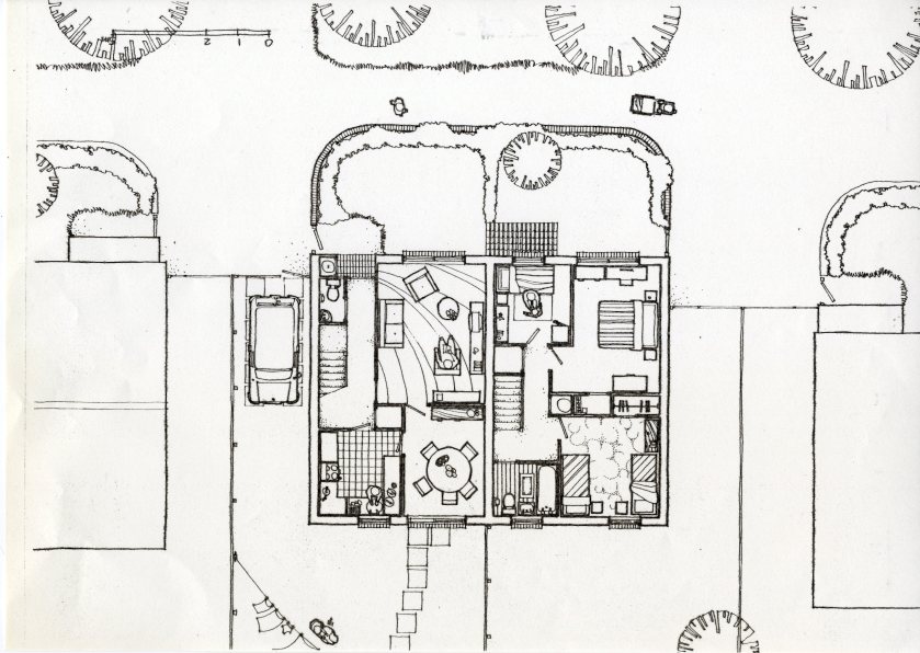
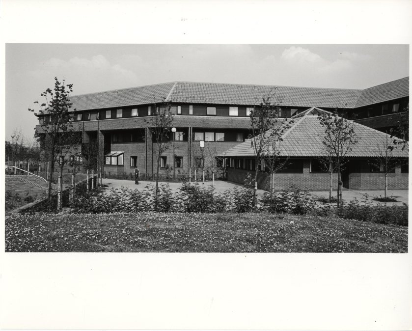
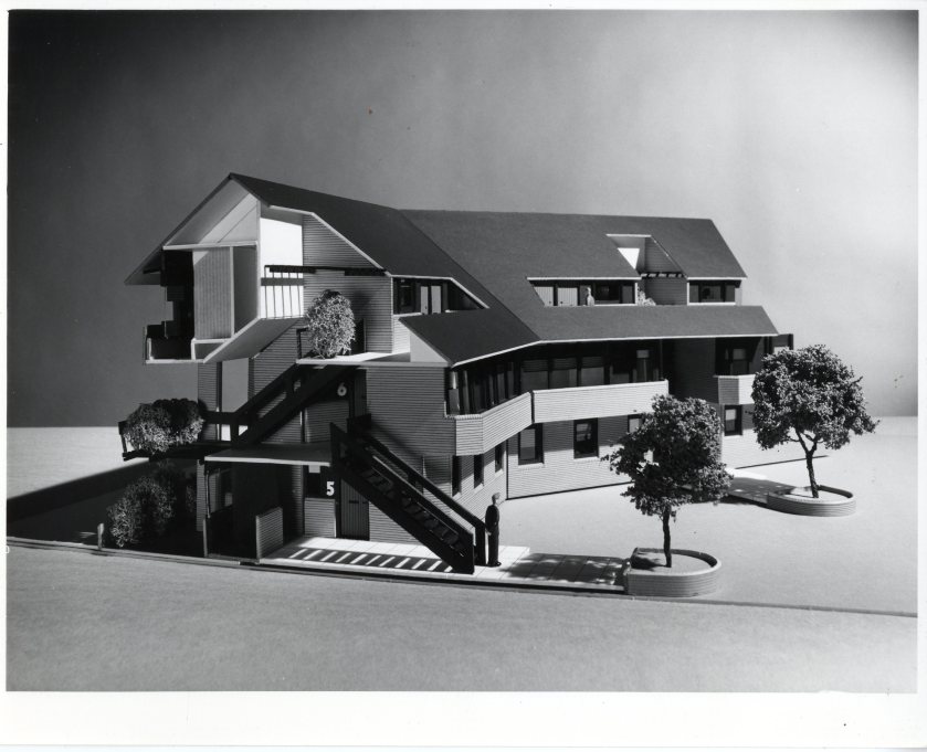
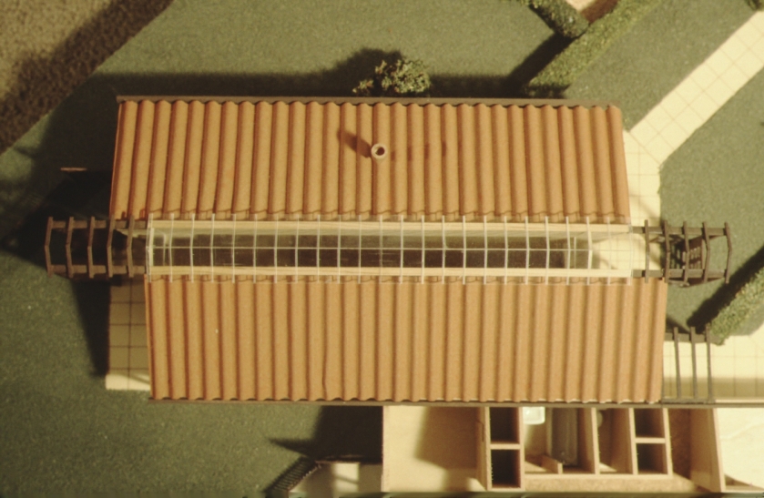
Above two images: File NTW 147_5_12. Birchwood 30 Single Person dwellings. Top image shows finished building. lower image is architectural model. From the Birchwood.org.uk website: “Hamnett Court was opened by the Duchess of Kent on 2 June 1982. It had been developed as part of the wider stock for the Warrington New Town Development Corporation (WNTDC) to meet the needs of single people within the New Town area of Birchwood. It originally consisted of 124 bed-spaces, made up of 1 bed flats, bedsits, and shared flats. In 1997 all the shared flats were converted to single occupancy, as the concept of people sharing accommodation had changed, with people wanting their own space. This reduced the available units to 88.” The YMCA were the managing agents of the building, from the time it first opened but in the 2000’s this building and surrounding sites were taken over by a private developer.
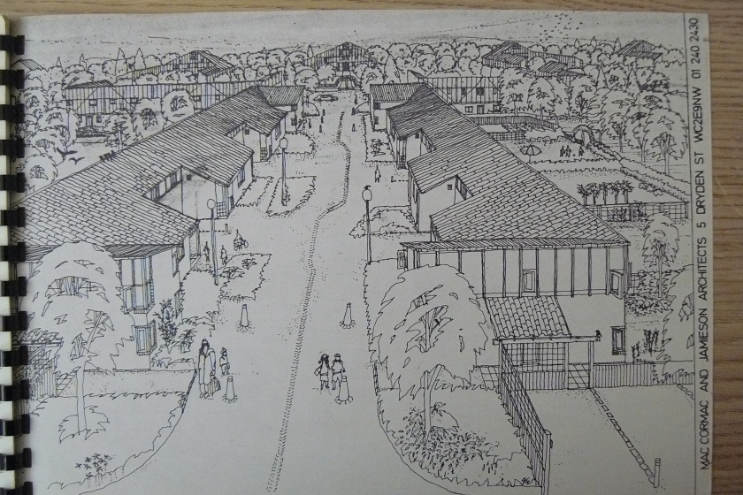
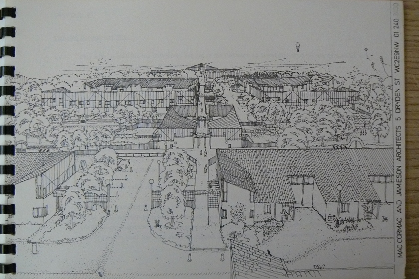
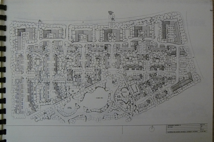
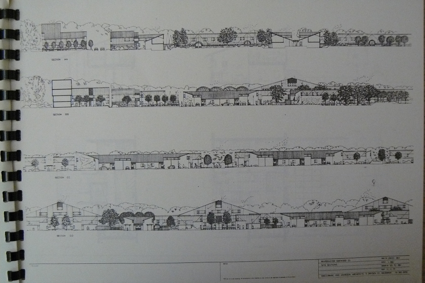
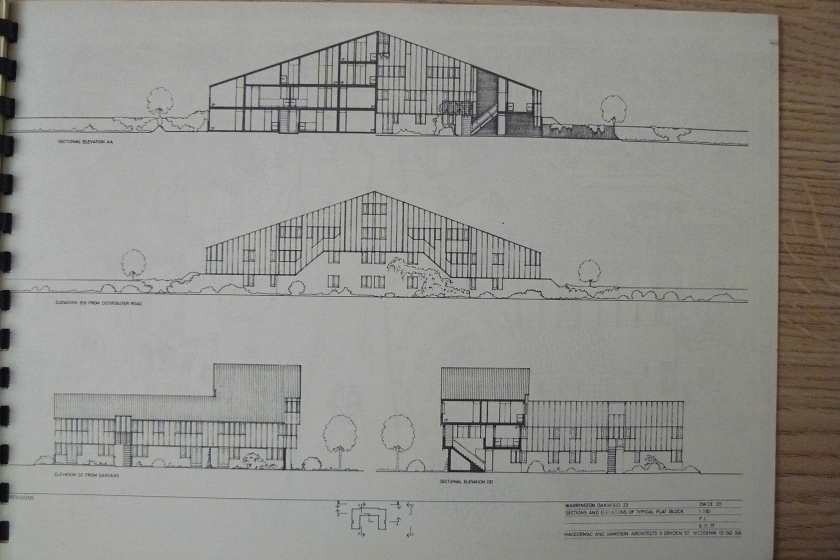
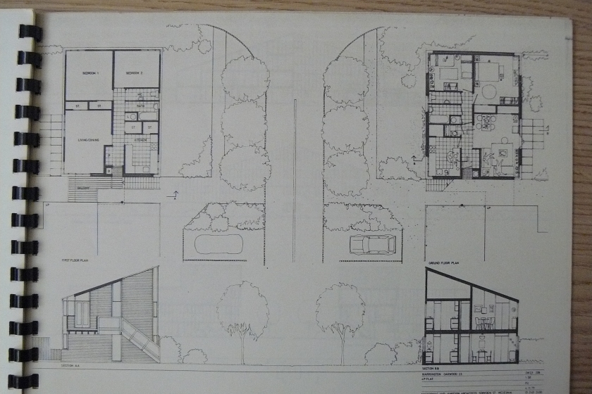
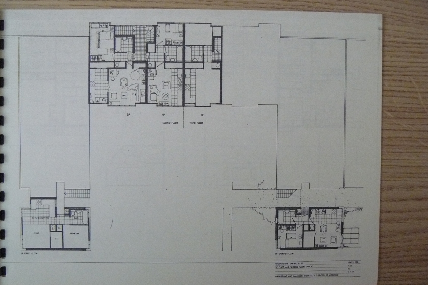
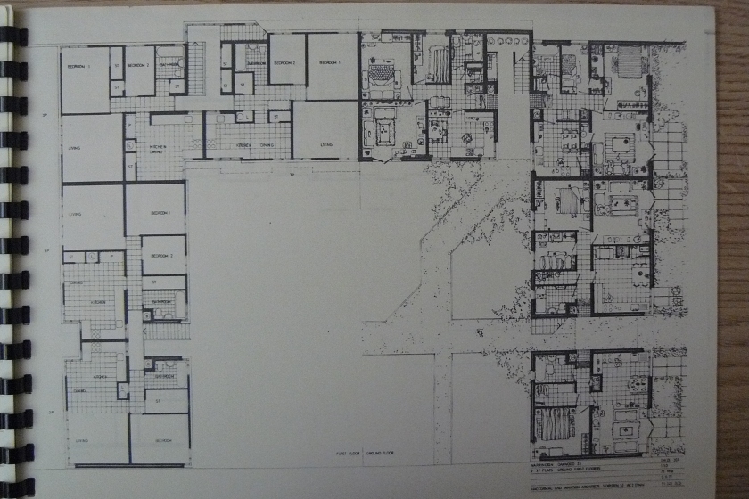
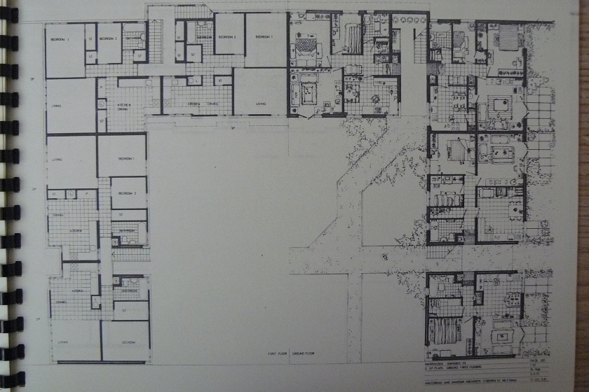
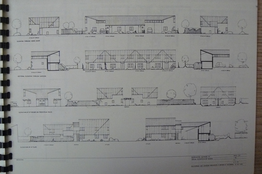
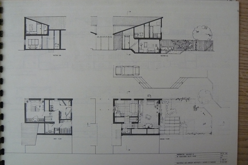
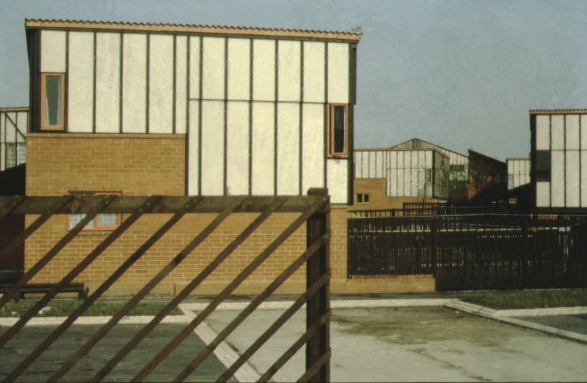
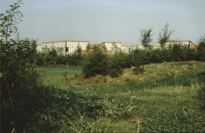
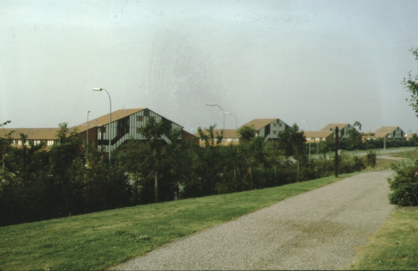
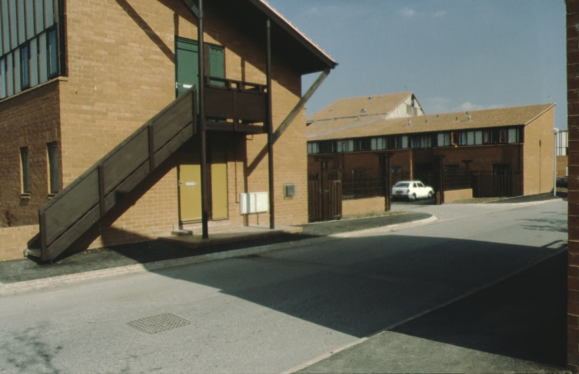
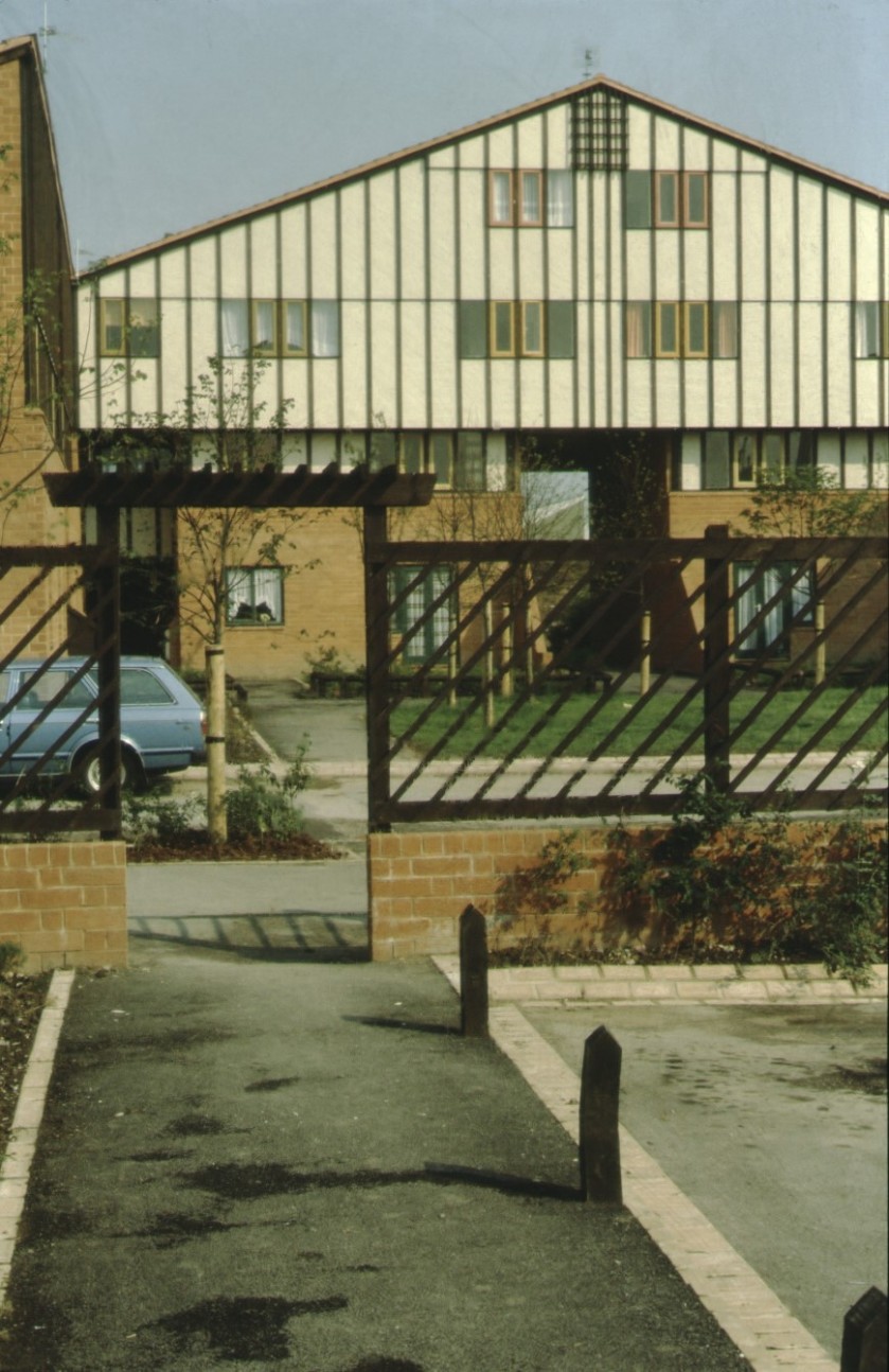
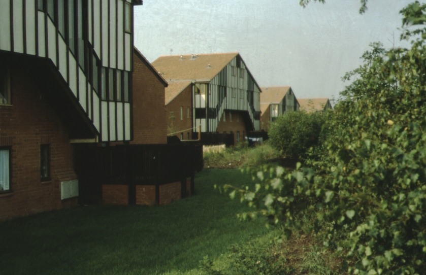
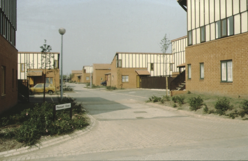
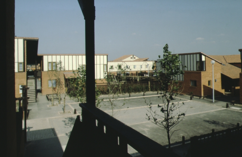
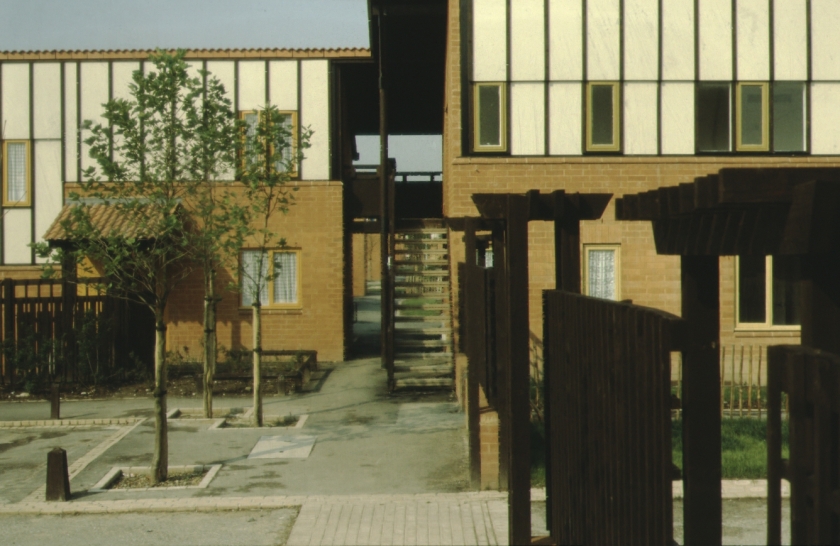
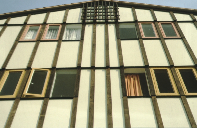
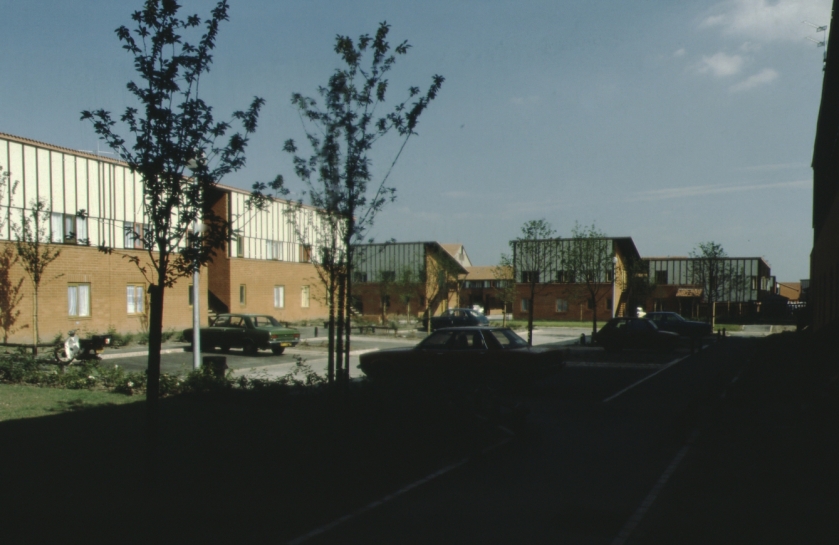
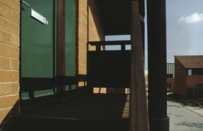
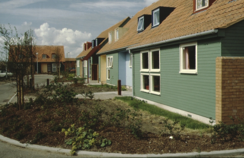
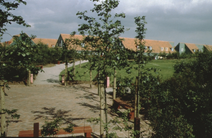
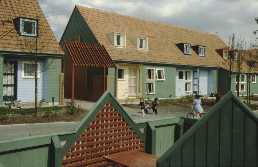
Above: NTW 68/20. Above 12 images from Macormac and Jamieson Architects designs for buildings and setting of “Oakwood 23”, later named Redshank Lane and Closes leading from it. This development is mentioned, (somewhat disparagingly at times) in the 2006 edition of Buildings of England volume ‘Lancashire: Liverpool and the South West’ by Richard Pollard and Joseph Sharples, updating the 1969 edition by Niklaus Pevsner. “Richard Macormac produced a ‘perimeter development’ evolved from earlier schemes of his such as Pollards Hill, South London. Six U-Plan four storey ‘chalets’ front the district distributor road to the North [Ordnance Avenue]...introducing verticality and a sense of enclosure in the drab landscape…all the buildings have brick ground floors and timber upper stages clad in enamel panels with vertical wooden strips, like a sort of bizarre mock timber framing: Macormac adopted an unashamedly middle class ideal of stockbroker Tudorbethan (albeit as ordered and reassembled by a modernist), to appeal to the aspirations of tenants. The mock- Tudor style attracted criticism when new, but the chalets were well built, the established landscaping has softened the initially stark perimeter blocks, and the humanly scaled courts combine in satisfyingly intricate layout where the car is definitely subordinated to the pedestrian.” (page 637). Below are images of the development soon after its completion.
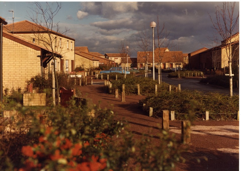
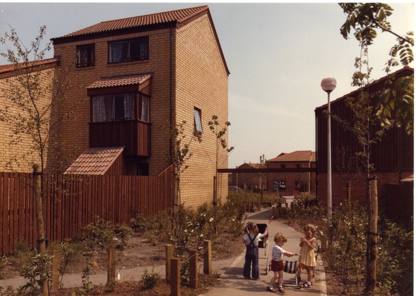
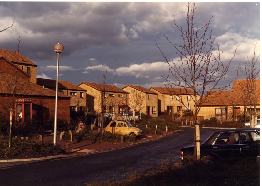
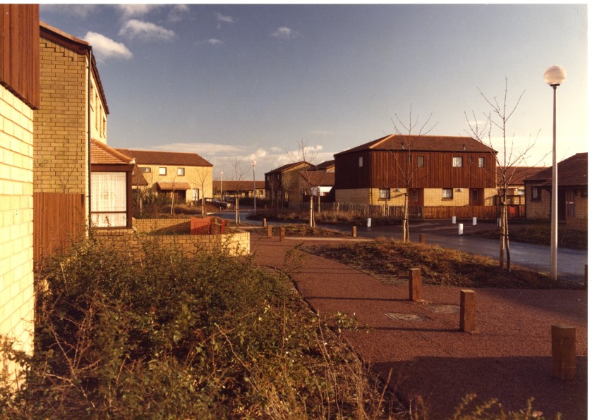
From NTW slides collection. Above 14 images feature housing and setting of “Oakwood 23” or Redshank Lane and surrounding Closes. These images allow the viewer to consider the criticisms of Macormac and Jamieson designs for themselves!
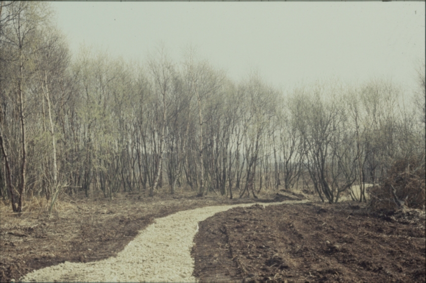
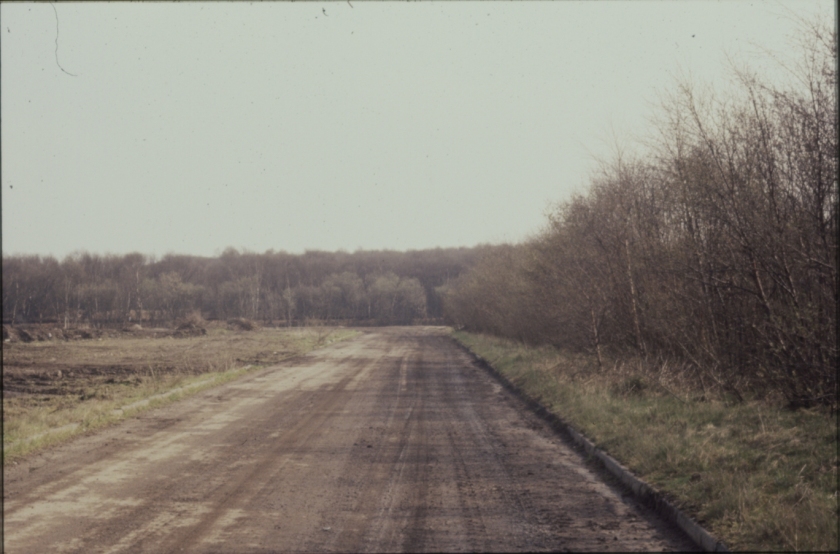
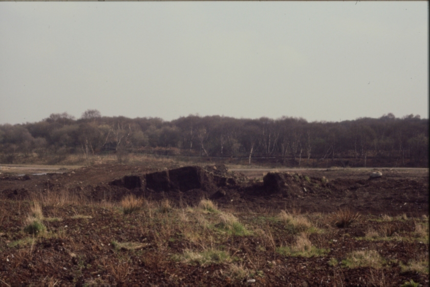
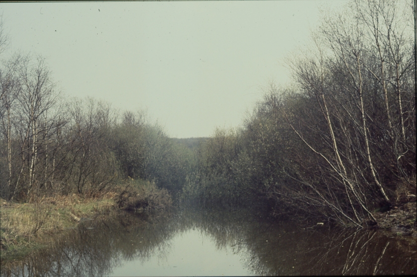
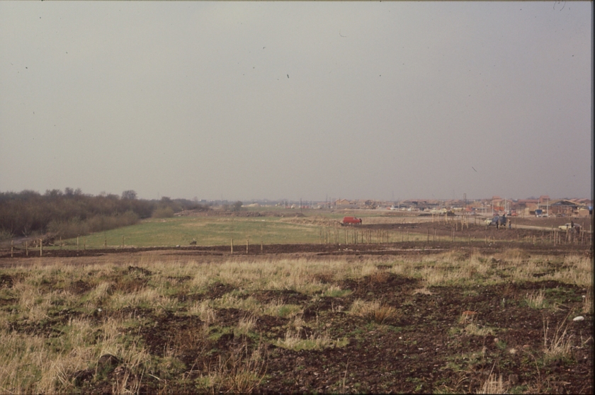
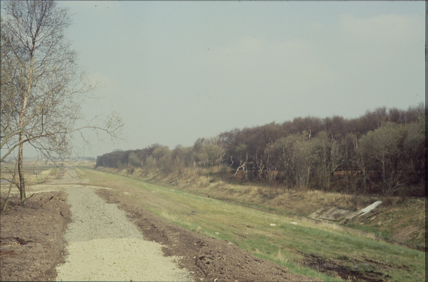
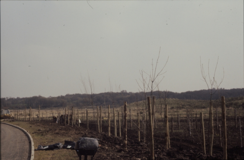
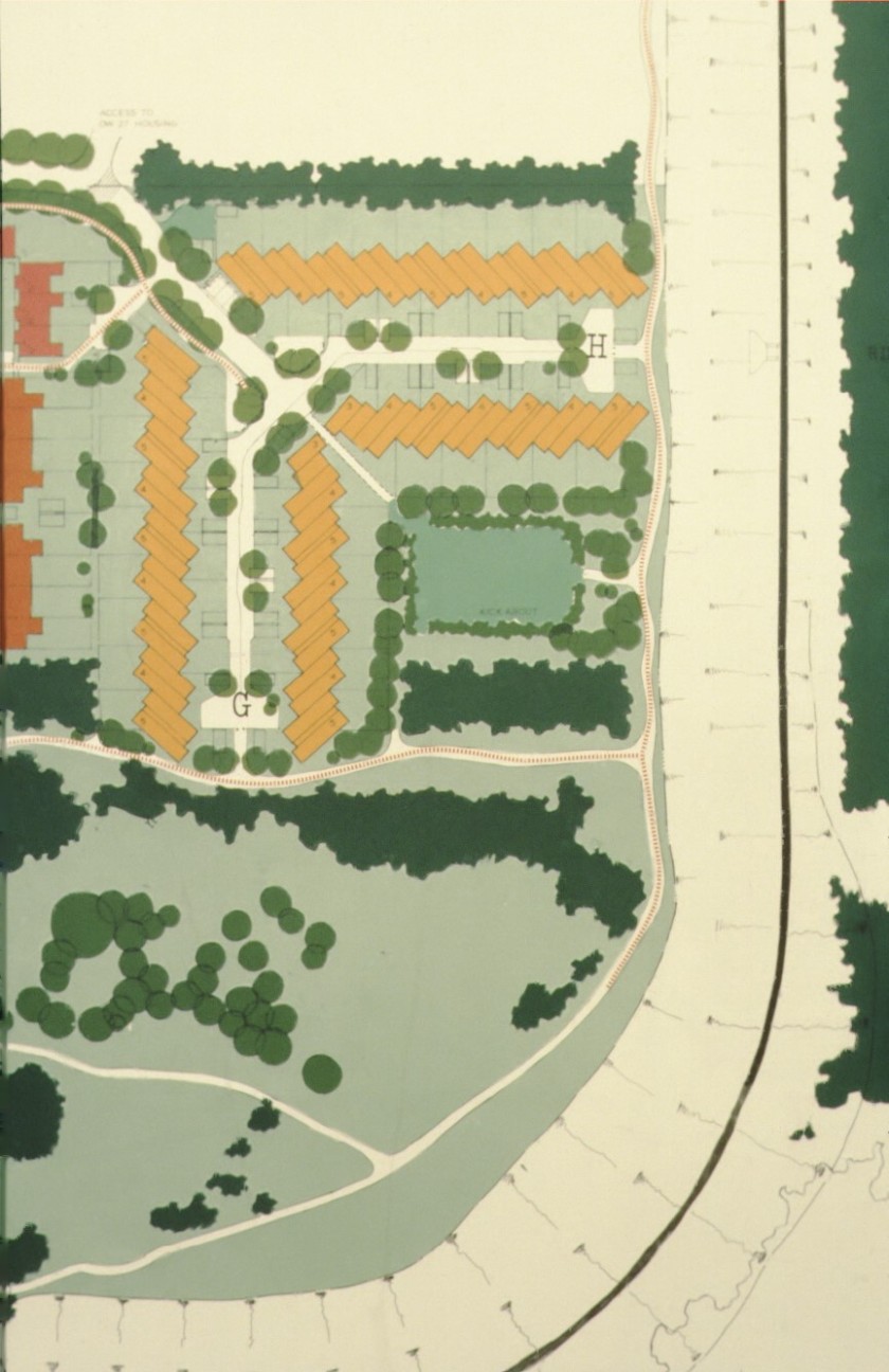
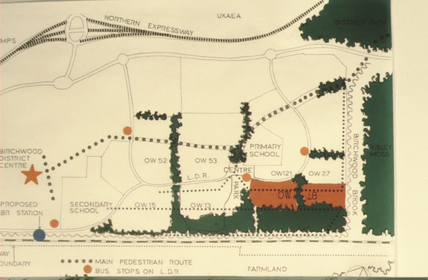
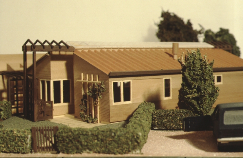
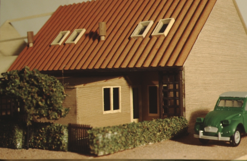
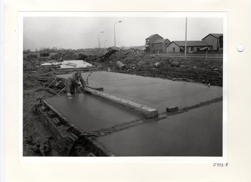
From slides collection. The above 9 images are part of a file of slides on area 18 in Oakwood, which follows the area from this early landscaping stage, through to finished houses. Note the slide which has been augmented with marker pen to illustrate the houses that would eventually go on site.Further slides from area 13 in Oakwood. PLan above shows Birchwood brook running along the right hand side.Above slide indicates how the different area of rented housing in Oakwood were categorised numerically with area 18 shown in red.
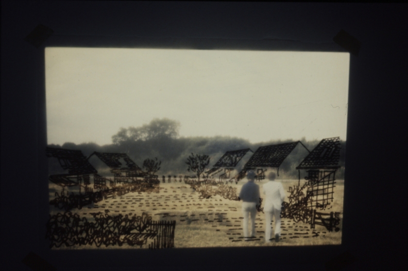
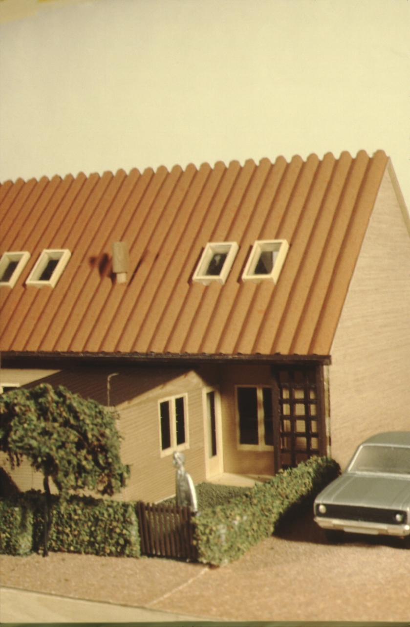
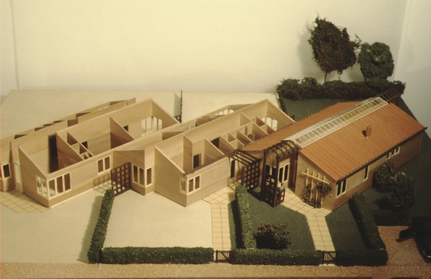
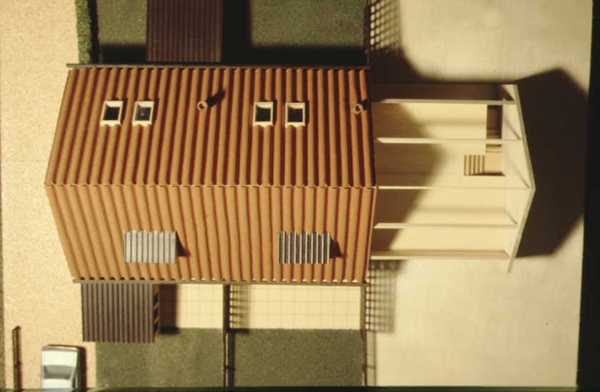
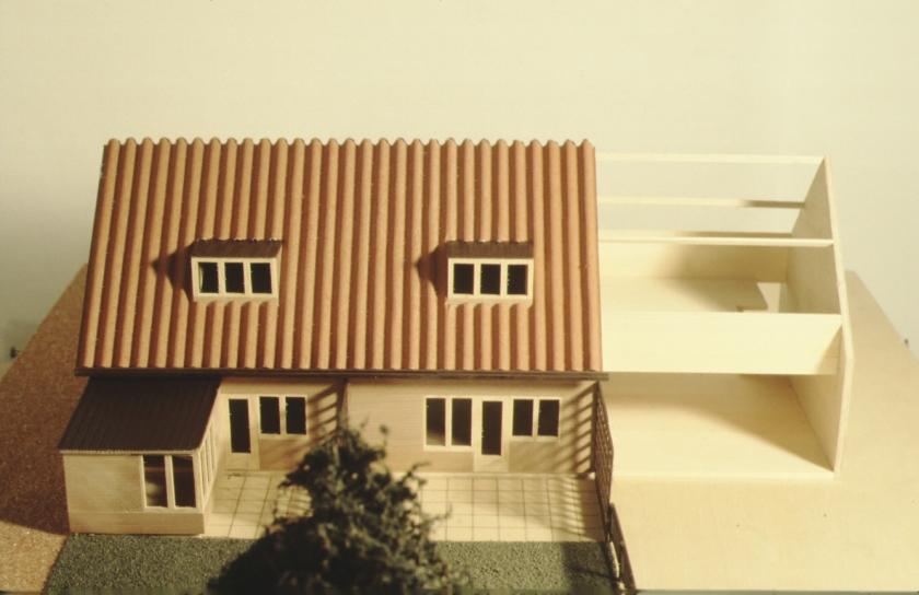
from slides collection. Architectural models of houses in area 18.
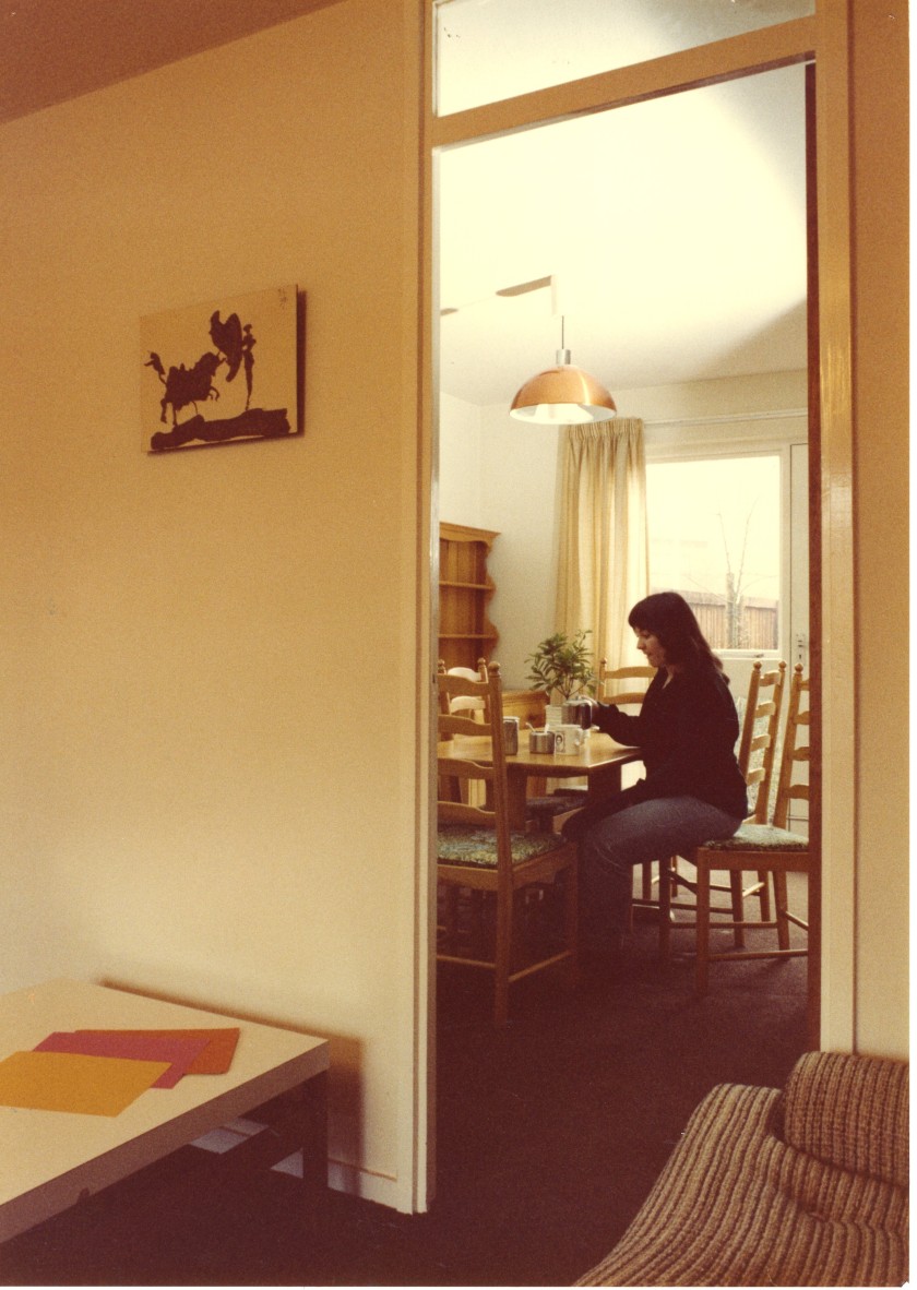
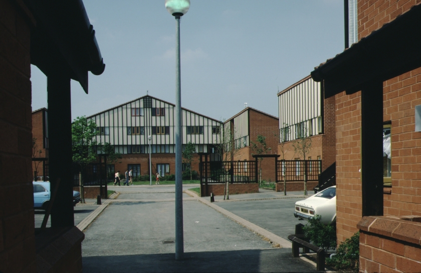
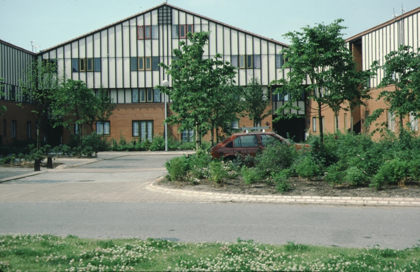
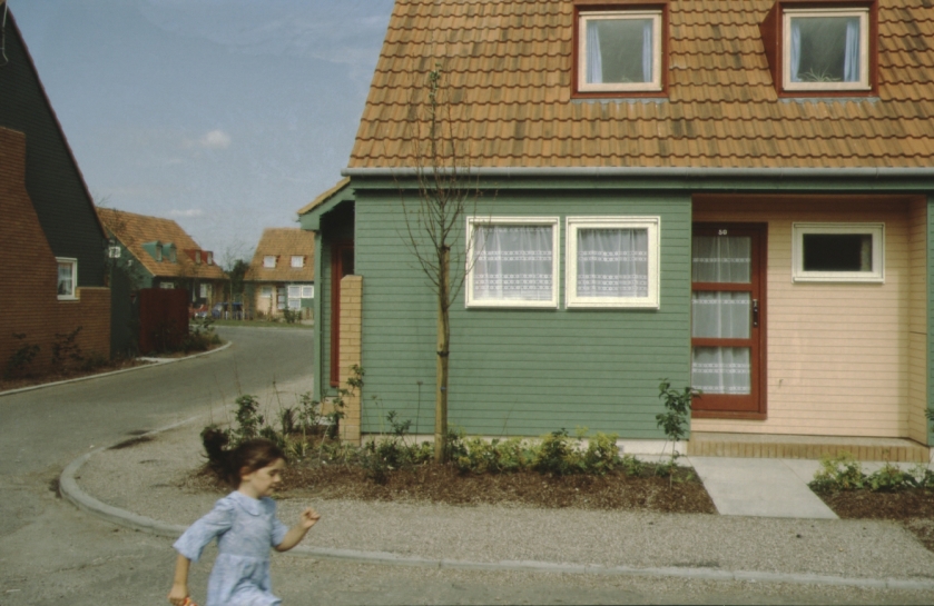
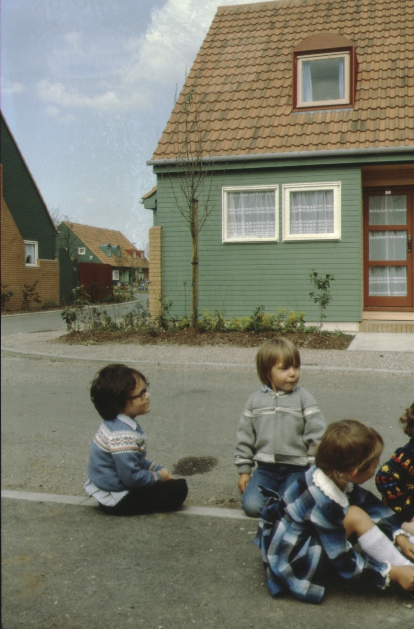
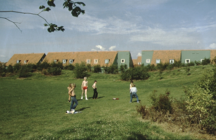
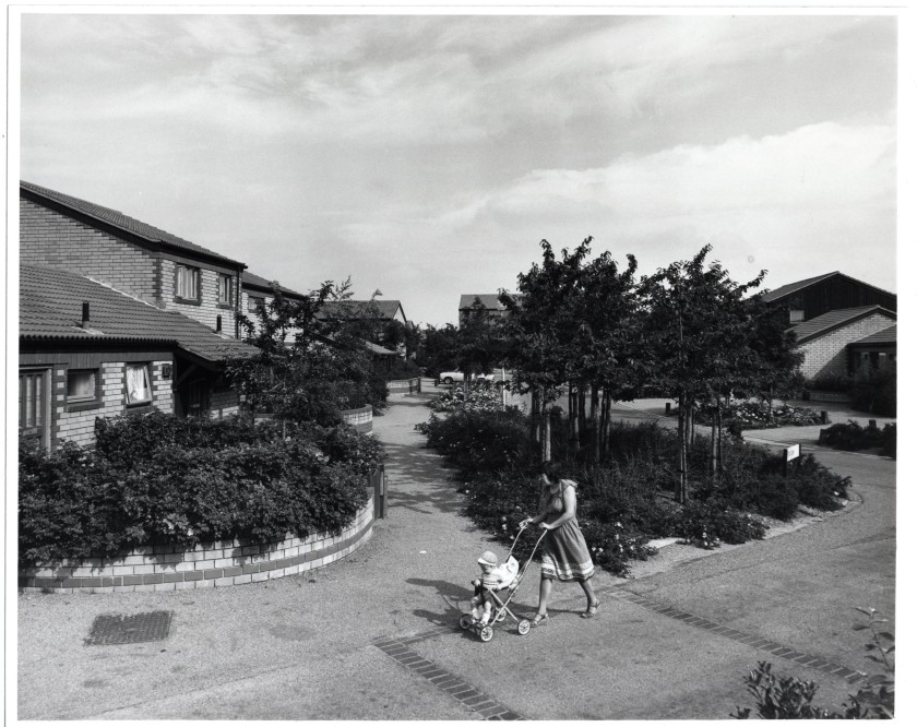
above 6 images, from slides collection showing area 18’s completed housing, landscaping and young residents.NTW 147_5_88_1 from file Oakwood General Rented Housing Vol 1
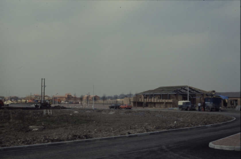
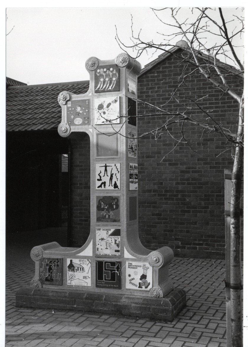
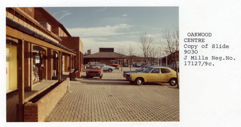
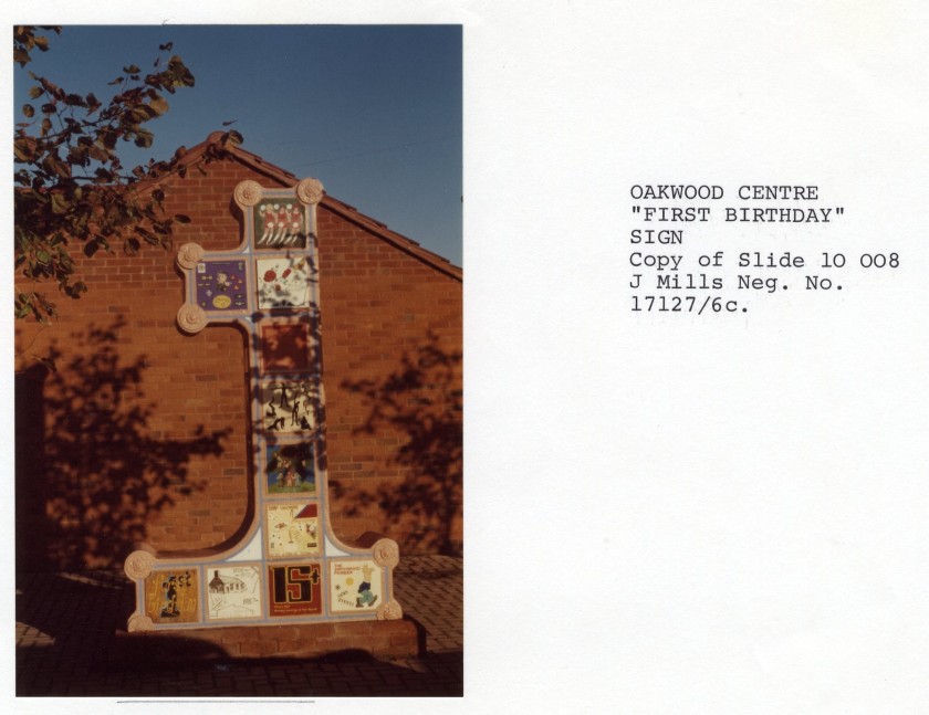
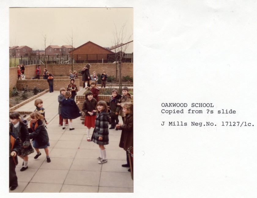
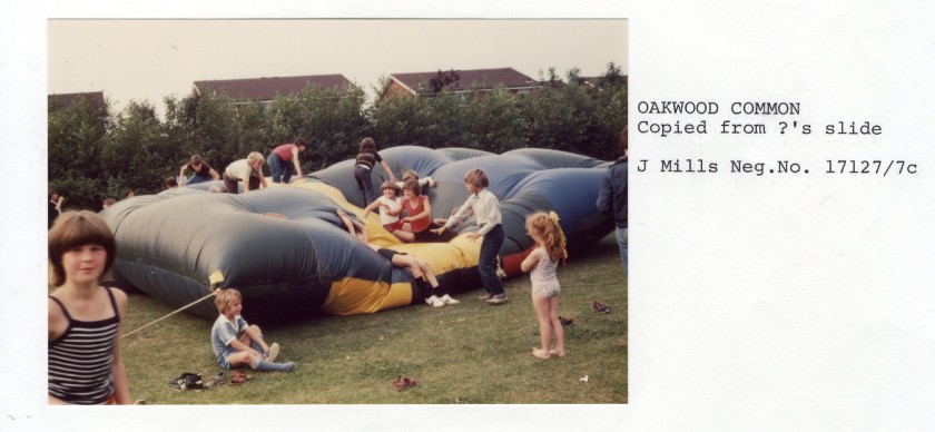
Above seven images are file NTW 147_5_93 Oakwood 52 rented housing Vol 1. A rare glimpse from the official archive into community life. Of the large number 1 sign installed to mark Oakwood’s first birthday, local councillor for Birchwood Pauline Nelson remembers: “It was Oakwood first birthday all the community groups had designed a plaque to go on the figure of one. It was the opening of the shop on Admirals Road after moving from Dunnock. […] the Morris Dances [the Oakwoodettes] danced to Cliff Richards ‘We don’t talk any more’”
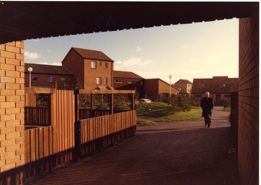
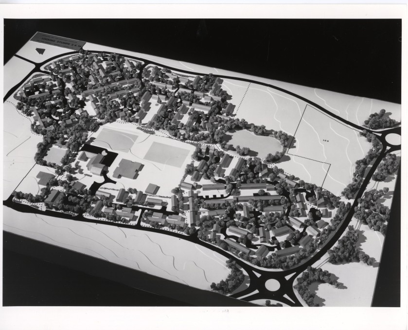
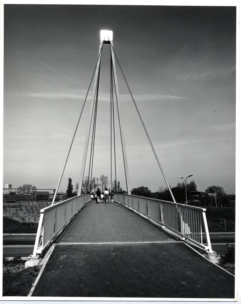
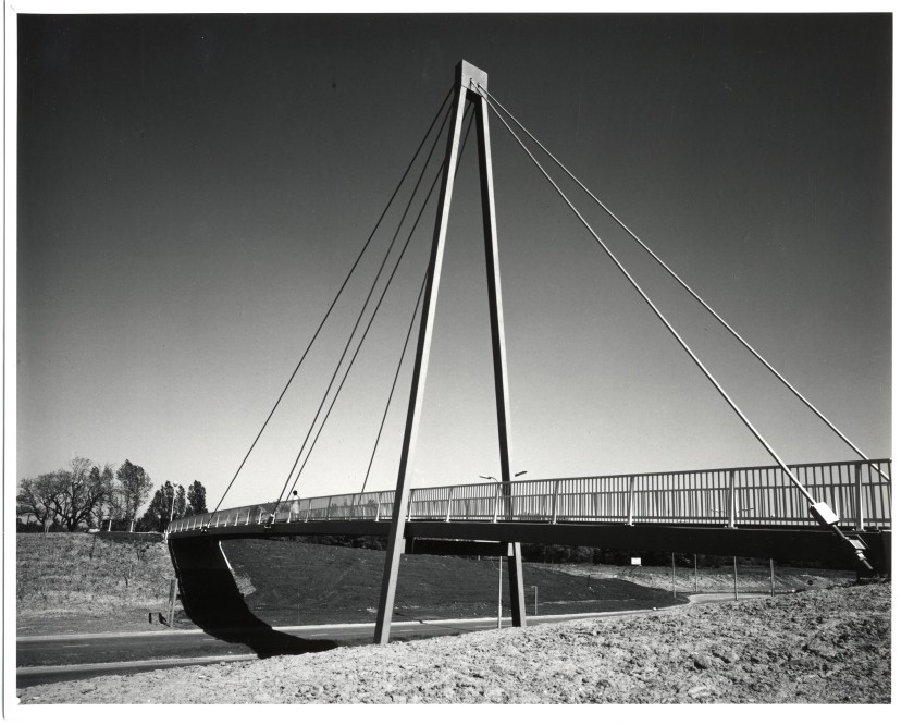
above three images file NTW 147_5_72 Locking Stumps General Vol 1. The scale model of housing is the inner area of Glover Road, which include Locking Stumps local centre, Turf and Feather pub, Thomas Risley church and Locking Stumps County Primary School as well as Development Corporation built rented housing. Other images are views of the bridge linking Heathfield with Locking Stumps